Winter Storm Warning | Getty Images/iStockphoto
Winter Storm Warning | Getty Images/iStockphoto
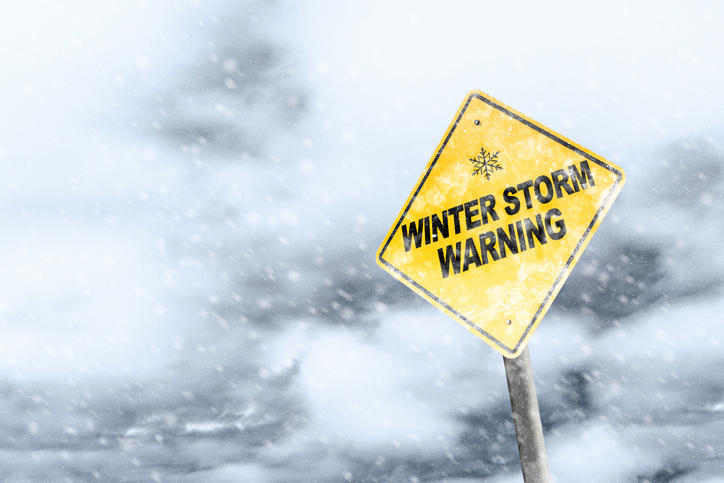
The National Weather Service has issued a Winter Storm Warning for our area. Heavy snow and high winds are possible. Expect that a snow emergency will be declared as this storm moves into the area.
Please do not shovel snow into the road way as this creates a safety hazard for drivers and emergency vehicles. As usual our DPS will be out clearing the streets when snow begins to accumulate. Moving your vehicle from the street even before the snow emergency is declared is very much appreciated by our plow drivers and they thank you in advance for your cooperation.
Winter Storm Warning
URGENT - WINTER WEATHER MESSAGE
National Weather Service Detroit/Pontiac MI 422 AM EST Fri Mar 3 2023
MIZ063-068>070-075-076-082-083-032130-/O.CON.KDTX.WS.W.0004.230303T1800Z-230304T0900Z/St. Clair-Livingston-Oakland-Macomb-Washtenaw-Wayne-Lenawee-Monroe-
Including the cities of Port Huron, Howell, Pontiac, Warren, Ann Arbor, Detroit, Adrian, and Monroe 422 AM EST Fri Mar 3 2023
...WINTER STORM WARNING REMAINS IN EFFECT FROM 1 PM THIS AFTERNOON TO 4 AM EST SATURDAY...
* WHAT...Heavy wet snow expected. Total snow accumulations of 6 to 10 inches. Winds gust as high as 35 to 45 mph.
* WHERE...St. Clair, Livingston, Oakland, Macomb, Washtenaw, Wayne, Lenawee and Monroe Counties.
* WHEN...From 1 PM this afternoon to 4 AM EST Saturday.
* IMPACTS...Travel could be very difficult. The hazardous conditions could impact the evening commute.
* ADDITIONAL DETAILS... Very heavy snow rates, on the order of 1 to 2+ inches per hour, are likely over a short three to six hour window. The peak rates occur this afternoon into this evening followed by moderate snow after midnight. Winds gusting to 45 mph may result in rapid reductions to visibility and isolated power outages will be possible from the cumulative impacts of accumulating wet snow and gusty winds. Amounts may be on the lower end of the range for Wayne, Lenawee and Monroe counties due to intrusion of warmer air resulting in periods of rain.
PRECAUTIONARY/PREPAREDNESS ACTIONS...
If you must travel, keep an extra flashlight, food, and water in your vehicle in case of an emergency.
Original source can be found here.
 Alerts Sign-up